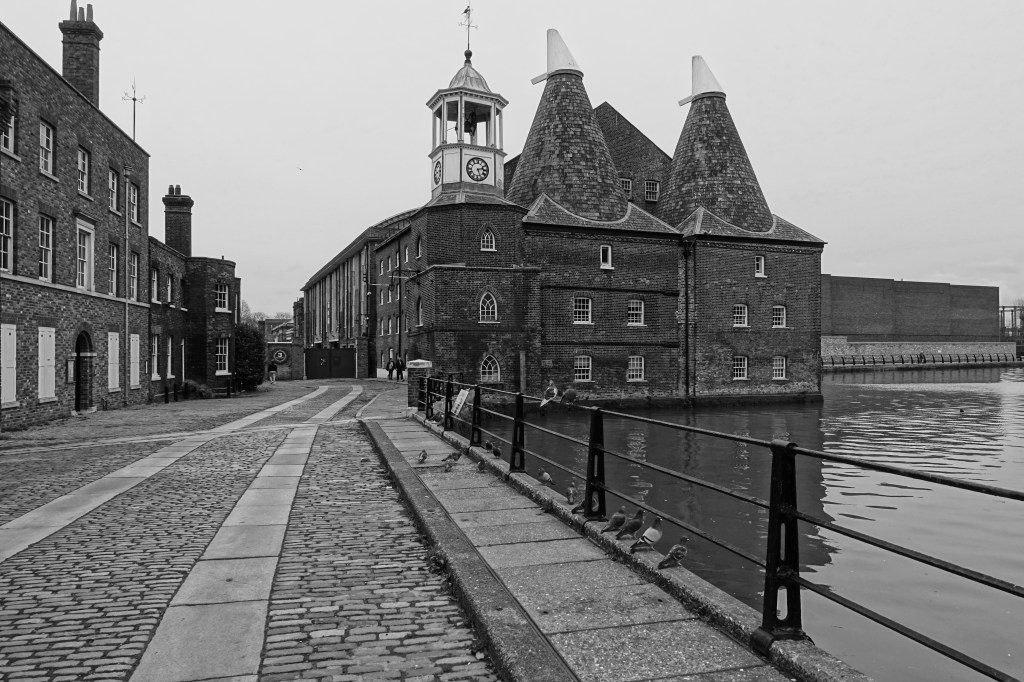
Three Mills, shit and sugar – A lovely walk.

Having set myself a task of walking the 78 miles of the Capital Ring walk around London over the next year and setting my start point at Hackney Wick I decide it would be a good idea initially to do a walk around the area of the Olympic Park area. I wanted to explore some of the history and industrial heritage of the area. A good precursor for the start of the walk.

The walk of 3 miles started at Pudding Mill lane and followed some of the Greenway running through this part of London. The weather was dry but it had got colder than it had been recently.

Docklands Light Railway.

Due to engineering works we had to get the train into Liverpool Street, then tube to Bank where we got onto the DLR to Pudding Mill Lane, the start of the walk.

Starting off on a North West direction under the railway we found a great cafe at the Olympic Park and started the day with a bacon bagel and coffee.

Olympic Park

From there we followed the Greenway and Victoria Walk North West as far as the crossing of the Lea Navigation.

The Greenway, formerly known as Sewerbank, is following the course of the Northern Outfall Sewer which is part of the London sewage work carried out by Joseph Bazalgette.

Bazalgette built London’s first sewer network in the 19th Century and was responsible for wiping out Cholera in the capital. The sewers took 16 years to build and are still in use today.

Alongside the River Lea.

Going down on the track to the left before the bridge over the Lea we then took a course South alongside the River Lea Navigation. At this point the sewer crosses the river overhead in an enormous steel construction.

The steel construction which supports the main Northern outfall sewage pipes over the River Lea.

The path was dry and there much to see with boats along the river.

There are many colourful and interesting narrowboats along the canal.

An interesting building across the others side of the river is the Bow Quarter which is the old Bryant and May match factory, redeveloped in the 1980s it is now flats and town houses.

Just before the Bow flyover we had to jiggle round the river at the point where the river splits to travel North East and becomes St Thomas Creek.

Crossing over to the other side of the river we go as far as Three Mill Lane where we cross the river again onto Three Mills Island.

There are references to mills on this site in the Domesday survey of 1086 which is considered to be the earliest record of a mill system in England.

The current mills were bought in 1727 by three local Huguenots. It was a good location for mills with the strong tidal flow giving eight hours of power per tide.

The mills are currently film studios with programs such as Masterchef being filmed there.

Continuing North we travel alongside Three Mills Wall River and stop off at Three Mills Green for a late lunch of sandwiches. East of us across the Prescott Chanel, a tributory of the Three Mills Wall River, are the original and new Abbey Mills sewage pumping stations, something we will be visiting on our next walk.

As we continue North we can see to the West of us Sugar House Island. The Island is named after a striking 19th century five-storey red brick warehouse which still stands on site.

As we arrive at the A118 High Street we cross over to continue our walk back in a Westerly direction to the end at our start point at Pudding Mill Lane DLR station. Before continuing though we stop on the A118 to admire the old Yardley box factory and offices.